Precision Techniques for Conservation Work
Learn from specialists already implementing these approaches
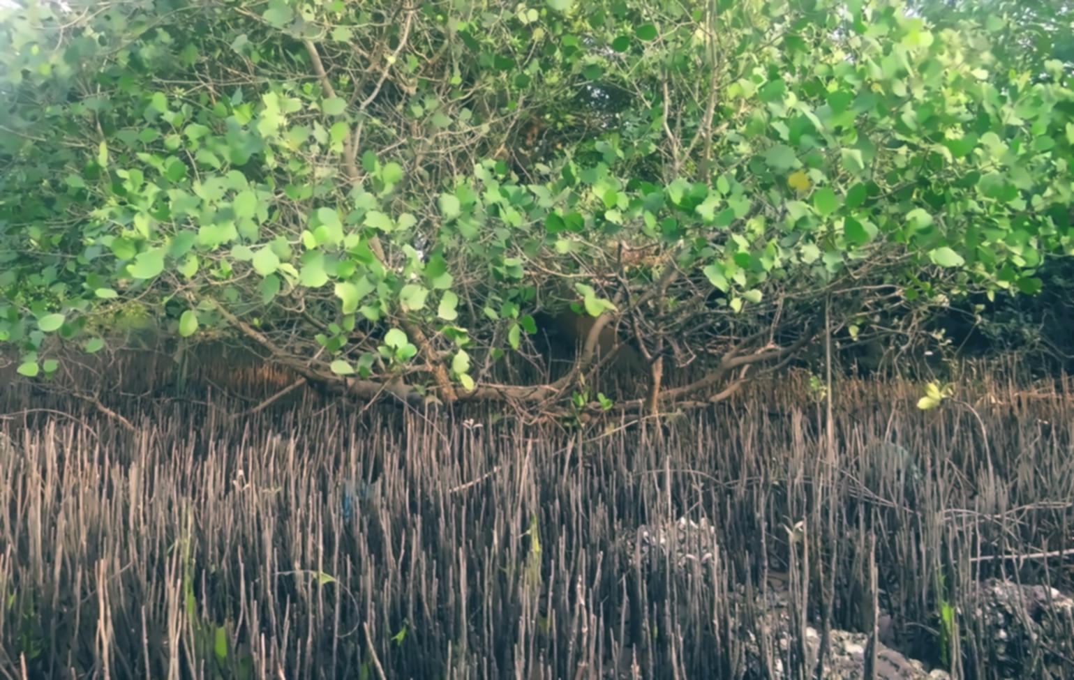
We connect practical biodiversity techniques with folks who need them. The courses are built from fieldwork, not textbooks, so you learn what actually matters when conserving ecosystems and species across different terrains.
Browse Available Programs
What makes our instructors credible
Experience from actual conservation projects, not just academic theory
Smart Farming Integration
Our teaching team combines conservation biology with precision agriculture. They've managed sustainable farming operations where crop yield meets biodiversity preservation targets.
Agri Technology Application
Instructors work with remote sensing data, soil sensors, and monitoring equipment daily. Farm innovation tools get demonstrated with real datasets from conservation sites.
Eco Agriculture Methods
Years implementing green farming techniques across various climate zones. Our team has tested modern farming approaches in protected areas and working landscapes.
Conservation practitioners trained
Active habitat restoration projects
Countries represented

Results from field implementation
Students apply digital farming techniques to track species populations, manage protected zones, and balance agricultural needs with habitat requirements. Agtech solutions help monitor changes across seasons.
- Precision farming tools adapted for biodiversity monitoring
- Sustainable agriculture protocols tested in protected areas
- Farm innovation methods scaled across state territories
Access regardless of location
Geography shouldn't limit who can learn conservation techniques. Our platform connects students from urban centers to remote field stations across state boundaries.
Whether you're managing a coastal wetland or working with highland forests, the online format means you can participate during your actual project cycles instead of traveling to fixed training dates.
Learn from project sites
Access course materials between fieldwork sessions, no need to leave your conservation area
Regional knowledge exchange
Connect with practitioners managing similar ecosystems across different territories
Flexible scheduling
Work through content when it fits your field schedule and operational demands
Supporting materials and references
Each course includes datasets, protocols, and equipment guides that extend beyond video demonstrations
Species monitoring templates
Standardized data collection forms adapted for various taxonomic groups. Used across multiple conservation projects for consistent documentation.
Habitat assessment checklists
Step-by-step evaluation criteria for different ecosystem types. Includes photo documentation standards and measurement protocols.
Equipment calibration guides
Maintenance and accuracy verification procedures for common monitoring tools. Covers GPS units, soil testers, and camera traps.
Safety and ethics frameworks
Field safety protocols and ethical guidelines for working with sensitive species and protected areas. Region-specific regulatory considerations.
Sensor deployment manuals
Installation instructions for environmental sensors in various terrain types. Troubleshooting common connectivity and power issues in remote locations.
Data analysis workflows
Processing pipelines for satellite imagery, camera trap photos, and acoustic recordings. Software recommendations based on budget constraints.
GIS mapping tutorials
Creating conservation zone maps and tracking habitat changes over time. Practical exercises using open-source mapping platforms.
Report writing templates
Structuring findings for different audiences from landowners to regulatory agencies. Visualization best practices for ecological data.
Population trend datasets
Multi-year monitoring data from instructors' projects. Practice analyzing real counts, identifying patterns, and drawing management conclusions.
Vegetation survey records
Plant community composition data across restoration timelines. Compare pre and post-intervention measurements with statistical context.
Soil quality measurements
Chemical and physical soil analysis results from sustainable agriculture implementations. Link farming practices to measurable biodiversity outcomes.
Climate variable archives
Temperature, rainfall, and seasonal pattern data correlated with species observations. Understanding environmental drivers of ecological change.

How instruction is structured
- 1 Demonstration of technique in actual field conditions with typical equipment constraints
- 2 Explanation of decision points and how to adapt methods to different contexts
- 3 Practice exercises using provided datasets or your own project data
- 4 Feedback on implementation through discussion forums and optional review sessions
Common implementation obstacles
Students face similar barriers when applying conservation techniques. Here's how courses address them
Most conservation projects operate with tight funding. Instructors demonstrate affordable alternatives to expensive monitoring tools and explain when precision equipment is necessary versus when simpler methods work fine.
You learn to prioritize spending based on actual information needs rather than aspirational technology wish lists.
Field sites often lack stable internet. Course materials are designed for download and offline use. Data collection protocols work without constant cloud synchronization.
Technical workflows accommodate periodic connectivity rather than requiring real-time uploads.
Conservation rarely happens in isolation from agriculture, forestry, or development. Instructors share negotiation strategies and compromise solutions from their own project experiences.
You see how sustainable agriculture principles can bridge conservation goals with legitimate economic needs of local communities.
Building local capacity is crucial but challenging. Course content includes training materials you can adapt for your own team, with guidance on teaching technical skills to people with varied educational backgrounds.
The precision farming module changed how I approach habitat monitoring. Instead of general surveys, I now use targeted sensor placements that give me actual numbers on soil moisture and temperature changes. Helped me justify management decisions to park administration with concrete data instead of just observations.